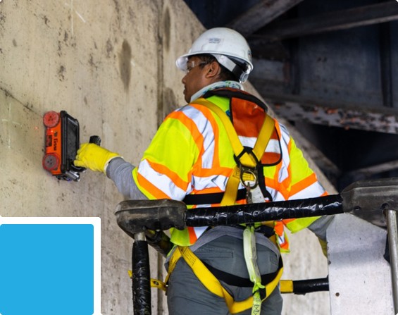
We deliver comprehensive coastal and marine infrastructure services, combining bathymetric surveys, land-sea integration, and laboratory testing to support ports, breakwaters, jetties, and marine reclamation projects. Our approach ensures accurate planning, construction quality, and long-term structural reliability.
We deliver comprehensive coastal and marine infrastructure services, combining bathymetric surveys, land-sea integration, and laboratory testing to support ports, breakwaters, jetties, and marine reclamation projects. Our approach ensures accurate planning, construction quality, and long-term structural reliability.