Image

Water, Hydrology & l Environmental Management / EHS

Image

Industry Overview:

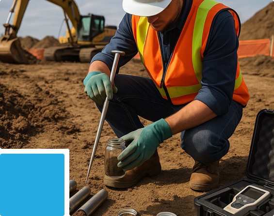
We support flood risk assessment, drainage planning, watershed management, and environmental compliance through advanced geospatial technologies and laboratory testing. Our integrated services combine geotechnical investigations, water quality analysis, and environmental monitoring to deliver reliable data for sustainable resource and infrastructure management.

Clients’ Needs & Challenges:

  • Accurate terrain, drainage, and watershed modeling for effective planning.
  • Flood mitigation strategies and stormwater system design.
  • Monitoring industrial pollution, water quality, and ecological impacts.
  • Integration of hydrological, geotechnical, and environmental data into GIS and simulation platforms.
Image

Value Proposition:

  • Drone-based photogrammetry and LiDAR for DTM/DSM generation and detailed terrain mapping.
  • Watershed, flow path, and drainage network analysis for hydraulic and flood modeling.
  • Comprehensive laboratory services including geotechnical soil analysis and water quality testing to support design, safety, and compliance.
  • Environmental and EHS monitoring for regulatory reporting and sustainability assessments.
  • GIS-ready deliverables compatible with industry-standard tools (HEC-RAS, SWMM, etc.) for simulation and decision-making.

Related Services:

Drone Survey Services

Image

Geotechnical & Geophysical Investigations

Image

Material Testing

Image

3D Scanning & Mobile Mapping Services

Image

GIS Mapping Services

Image

Surveyor & Instrument Hire Services

Image

Onsite Laboratory

Image

Inspection & Structural Assessments

Image
Up