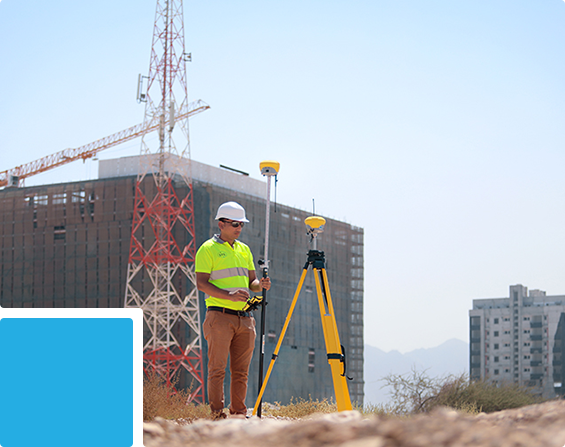
Our precise horizontal and vertical survey control networks establish a consistent coordinate and elevation reference for all subsequent surveying, engineering and project activities.
Best For:
Large Projects • Roads • Railways • Infrastructure • Industrial Developments • Mining • Multi-Contractor Sites
Our Topographical Survey services provide accurate mapping of terrain, elevations, existing features and site conditions to support planning, engineering design and project development.
Best For:
Roads • Infrastructure • Buildings • Land Development • Utilities • Oil & Gas • Industrial Projects
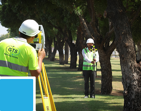
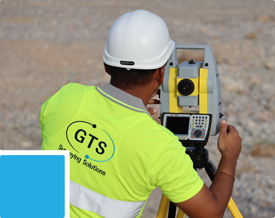
Our Cadastral Survey services provide accurate identification, establishment and verification of land parcels, property boundaries and survey monuments for land development, planning and property-related requirements.
Best For:
Land Development • Property Boundaries • Plot Subdivision • Development Projects • Land Verification
Our Engineering Survey services provide precise survey support for engineering design, civil works, infrastructure development and project execution.
Best For:
Roads • Bridges • Buildings • Infrastructure • Utilities • Industrial Facilities • Pipelines


Our As-Built Survey services provide accurate documentation of the actual position, level, dimensions and configuration of completed works and existing assets for verification, records and final handover.
Best For:
Buildings • Roads • Bridges • Utilities • Pipelines • Industrial Facilities • Infrastructure
We provide qualified Land Surveyors, Engineering Surveyors and Geospatial Surveyors available for short-term, monthly or project-duration deployment across Oman, with required survey instruments and software where needed.
Best For:
Contractors • Consultants • Infrastructure Projects • Oil & Gas • Industrial Facilities • Mining • Railways • Long-Duration Projects