
Movement and Deformation Monitoring Services in Oman

Movement & Deformation Monitoring

Movement and Deformation Monitoring services are used to measure and track settlement, displacement, deformation and ground movement across structures, construction areas, infrastructure, slopes, mines and underground environments.

Monitoring solutions combine precision surveying, prism monitoring, precise levelling, automated radar systems and project-specific instrumentation according to site conditions, required accuracy and monitoring frequency.
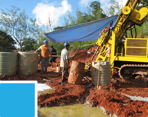
Structural Movement Monitoring

Structural Movement Monitoring

Precise monitoring of structures and infrastructure to identify settlement, displacement and deformation through baseline and repeat measurements over time.

Best For:
Buildings • Bridges • Tunnels • Railways • Deep Excavations • Adjacent Structures • Infrastructure • Industrial Facilities

Services & Deliverables:

  • Settlement & Level Monitoring – Precise measurement of vertical movement and elevation changes.
  • Structural & Deformation Monitoring – Measurement of positional and geometric changes affecting structures and assets.
  • Prism & Position Monitoring – Repeat observations of monitoring points using precision survey instruments.
  • Tunnel, Railway & Adjacent-Structure Monitoring – Monitoring of movement associated with underground works, rail infrastructure and nearby construction activities.
  • Baseline, Trend Analysis & Reports – Establishment of initial conditions with periodic comparison, movement trends and structured reporting.

Ground Movement Monitoring

Monitoring of ground, slopes, highwalls, excavations and mining environments using precision survey methods, radar monitoring and project-specific instrumentation.

Best For:
Open-Pit Mines • Quarries • Slopes • Highwalls • Excavations • Construction Areas • Retaining Systems • Ground-Movement Monitoring
Services & Deliverables:

  • Ground, Slope & Highwall Monitoring – Measurement of movement across natural slopes, engineered slopes and excavation areas.
  • Mine & Quarry Monitoring – Surface displacement monitoring across open-pit mines, quarries and highwalls.
  • Automated Radar Monitoring – Remote and frequent measurement of surface displacement across large monitoring areas.
  • Piezometer & Inclinometer Monitoring – Monitoring of groundwater conditions and subsurface lateral movement where required.
  • Movement Mapping, Trends & Reports – Spatial visualization, time-series analysis and structured reporting of measured ground movement.
Ground Movement Monitoring
Up